
Browse Items (4516 total)
- Collection: Ken Armson fonds
Sort by:
Aerial view of a rural area in Hawkins County, Tennessee
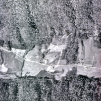
Aerial view of a rural area in Hawkins County, Tennessee; area is approximately 1.5 x 1 mile; photo prior to being mapped cf. Slide # 156.
Aerial view of area regenerated after clearcutting then wildfire 1976
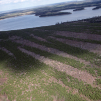
Aerial view of area regenerated after clearcutting then wildfire 1976. Aerially seeded 1977 and again in 1979. Now 9-11 years later. N.B. bands of regeneration, also shows blanks. Camp #1. Dryden.
Aerial view of areas cut 1950-1960
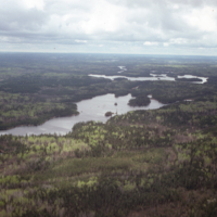
Aerial view of areas cut 1950-1960, 28-38yrs later. N.B. mixed species no treatments. South of Godson Lake, Dryden.
Aerial view of balsam fir killed by spruce budworm.
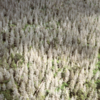
Aerial view of balsam fir killed by spruce budworm. Cape Breton Hlds. Photo by NS Dept. Lands & Forests
Aerial view of black spruce planted 1965, after 14 years.
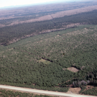
Aerial view of black spruce planted 1965, after 14 years. Camp 16, VeneerGate, Black Brook. J.D.Irving
Aerial view of black spruce regeneration following clearcutting
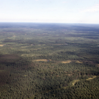
Aerial view of black spruce regeneration following clearcutting in 1950's. N.B. strips still visible. cf. slide #2032. North of Timmins.
Aerial view of block (strip) clearcut 1983
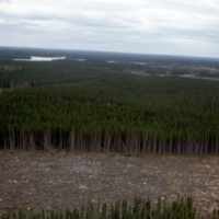
Aerial view of block (strip) clearcut 1983, site prepared with TTS disc trencher 1985. Ranger Lake, Sioux Lookout.
Aerial view of block clearcuts in lodgepole pine-spruce.
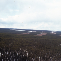
Aerial view of block clearcuts in lodgepole pine-spruce. Grande Prairie, Procter & Gamble (now Weyerhaeuser)
Aerial view of block clearcuts in lodgepole pine-spruce.
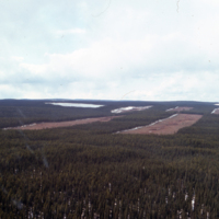
Aerial view of block clearcuts in lodgepole pine-spruce. Grande Prairie, Procter & Gamble (now Weuerhaeuser)
Aerial view of block clearcuts.
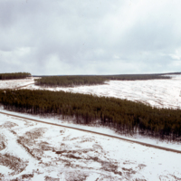
Aerial view of block clearcuts. Grande Prairie, Procter & Gamble,