
Browse Items (13693 total)
Sort by:
Uchi Lake - sandy loam, till/bedrock - 1942 & 1959 fires
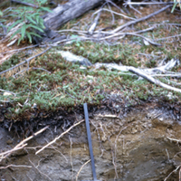
Soil cutaway showing layers of sandy loam, till and bedrock after 1942 and 1959 fires, Uchi Lake Ontario. Photograph shows close-up area with soil layers and a spade. Some top vegetation is visible amidst fallen trees from fires.
Soil type: #59
Soil type: #59
Uchi Lake - regeneration - PNb - 1942 & 1959 fires
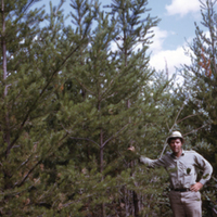
Regeneration of PNb after 1942 and 1959 fires, Uchi Lake Ontario. Photograph shows man standing beside regrowth of trees in an area with some rock and fallen trees.
Soil type: #59
Soil type: #59
Uchi Lake - regeneration - Plm wl/bedrock
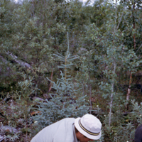
Regeneration of Plm wl/bedrock, Uchi Lake Ontario. Photograph shows man gathering soil sample in area with rock, aged fallen trees from fires, and regrowth of trees and vegetation.
Soil type: #56
Soil type: #56
Uchi Lake - regeneration - 1942 & 1959 fires
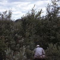
General view of vegetation regeneration from 1942 and 1959 fires, Uchi Lake Ontario. Photograph shows man in an area of regrowth of trees and shrubs.
Soil type: #56
Soil type: #56
Uchi Lake - general view - 1942 fire
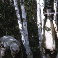
General view of area after 1942 fire, Uchi Lake Ontario. Photograph shows man working amidst area of cluster of trees in forested area.
Soil type: #57
Soil type: #57
Uchi Lake - aerial view - 1942 & 1959 fires
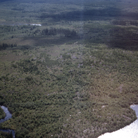
Aerial view of 1942 and 1959 fires, Uchi Lake Ontario. Photograph shows portion of lake with creek feeding in and area with widespread regeneration and some trees.
Soil type: #54
Soil type: #54
Typical well-kept forest access road.
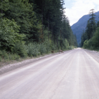
Typical well-kept forest access road. N.B. Black-tailed deer. Dewdney Public Sustained Yield Unit
Typical well-kept forest access road.
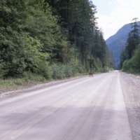
Typical well-kept forest access road. N.B. Black-tailed deer. Dewdney Public Sustained Yield Unit
Typical well-kept access road.
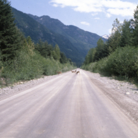
Typical well-kept access road. N.B. black-tailed deer. Dewdney Public Sustained Yield Unit
Typical well-kept access road.
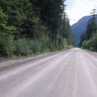
Typical well-kept access road. N.B. black-tailed deer. Dewdney Public Sustained Yield Unit